
Файл:India roadway map.svg

Краткое описание
| Название |
English: India national highway map (detailed)
Français : Inde: carte des routes nationales.
Español: Mapa de las carreteras nacionales de la India. |
|||||||||
| Описание |
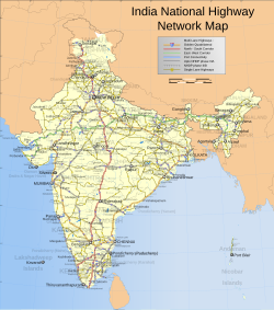
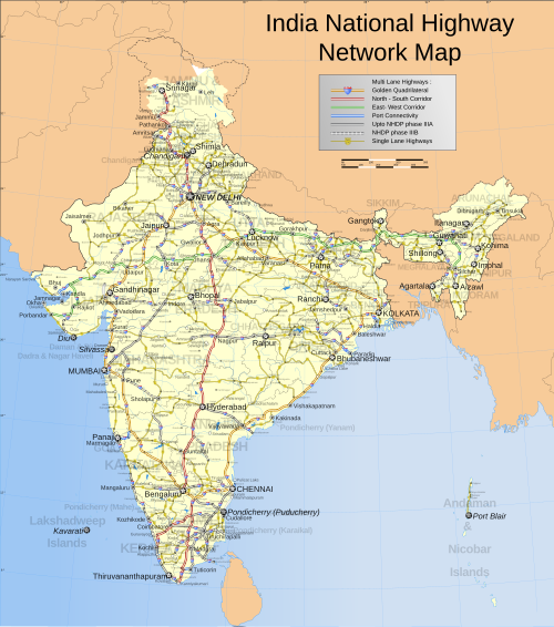
English: Map showing the national highway network in India. Includes w:NHDP projects upto phase IIIB which is due to be completed by December 2012. For actual progress of the NHDP refer to the maps below.
Español: Mapa de la red de carreteras nacionales indias. También incluye las vías programadas dentro de la fase actual (IIIB) de construcción, cuya finalización está programada para diciembre de 2012.
Français : Carte montrant le réseau des routes nationales indiennes. Sont aussi incluses les routes programmées dans la phase actuelle (IIIB) de construction, qui doit finir en décembre 2012.
Română: Hartă detaliată a rețelei autostrăzilor naționale indiene.
ꠍꠤꠟꠐꠤ: ꠄꠘ꠆ꠒꠤꠀꠞ ꠙꠕꠞ ꠝꠦꠙ ⁕
|
|||||||||
| Map legend |
 |
|||||||||
| Дата | ||||||||||
| Источник |
Собственная работа |
|||||||||
| Создатель |
|
|||||||||
| Права (Повторное использование этого файла) |
Я, владелец авторских прав на это произведение, добровольно публикую его на условиях следующей лицензии:    Этот файл доступен по лицензии Creative Commons Attribution-Share Alike 3.0 Unported.
 The frontiers depicted on the Indian maps in Wikipedia are from a neutral point of view and may differ from official government maps of India, Pakistan and China. Please consult local laws governing publication of maps before usage. The frontiers depicted on the Indian maps in Wikipedia are from a neutral point of view and may differ from official government maps of India, Pakistan and China. Please consult local laws governing publication of maps before usage. |
|||||||||
| Geotemporal data | ||||||||||
| Изображённое время | вторая половина XX век и XXI век | |||||||||
| Система пространственной привязки | conic | |||||||||
| Bounding box |
|
|||||||||
| Georeferencing | If inappropriate please set warp_status = skip to hide. | |||||||||
| Archival data | ||||||||||
| Примечания | Part of WikiProject India Maps | |||||||||
| Другие версии |
Also available in PNG format at Image:India roadway map.png (not updated). Simplified version can be found at Image:India simplified roadway map.svg Map with topographical details Image:India topographical roadway map.svg |
|||||||||

Notes
Depiction of India's borders
- The territorial boundaries of India are shown as per the actual ground situation in accordance with international practices followed by the United Nations ([4], [5]) and the National Geographic Society ([6], [7])
- This map is meant to be for illustrative purposes only and is not authenticated by official government sources. Please check the list of sources and references used to create the map for a measure of accuracy and verifiability.
- The usage of these maps in India, Pakistan and China is governed by different laws that restrict depictions of boundaries other than what is officially recognized by the state. Please check local laws and modify the map accordingly before use.
Explanation of disputed boundaries


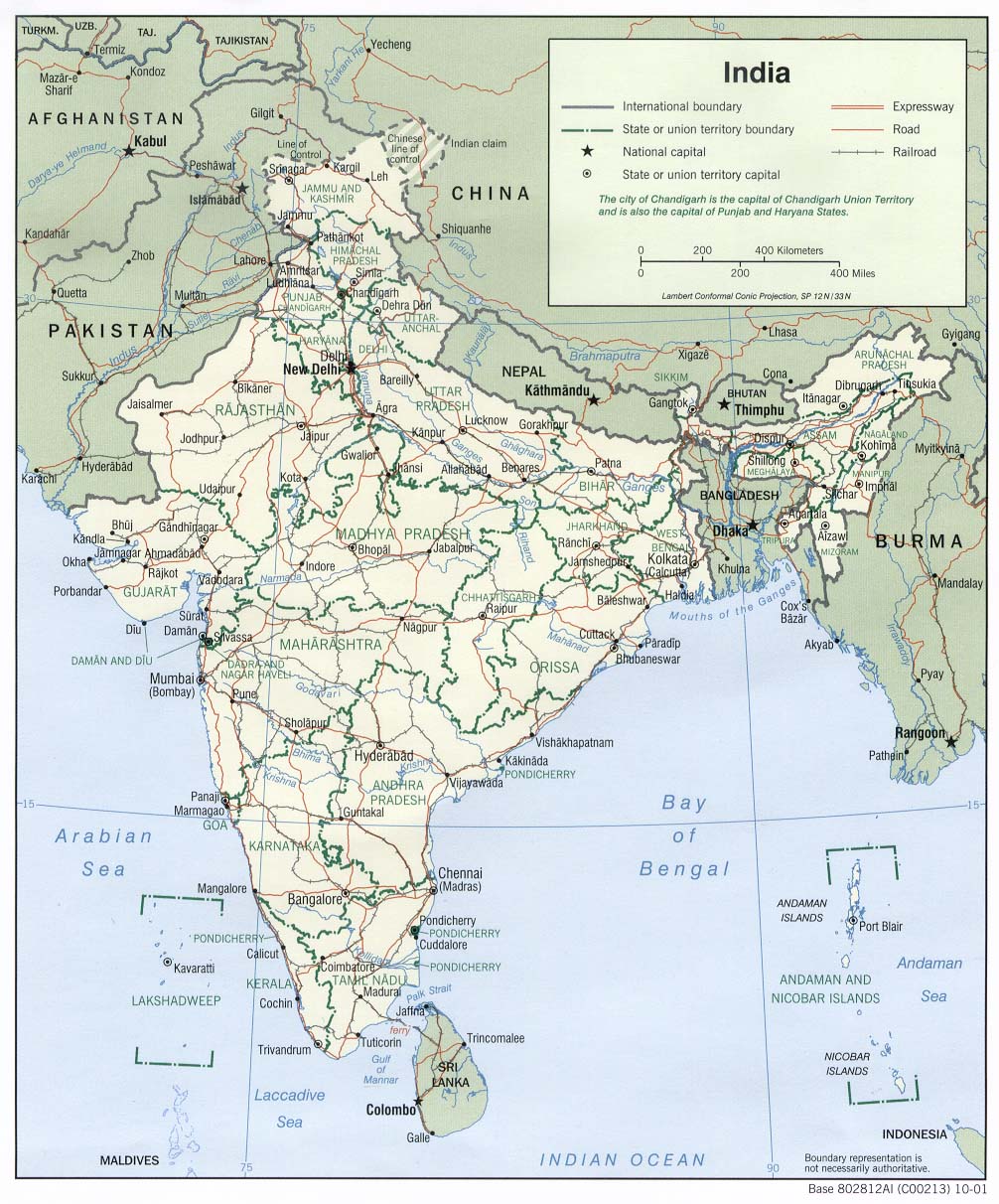
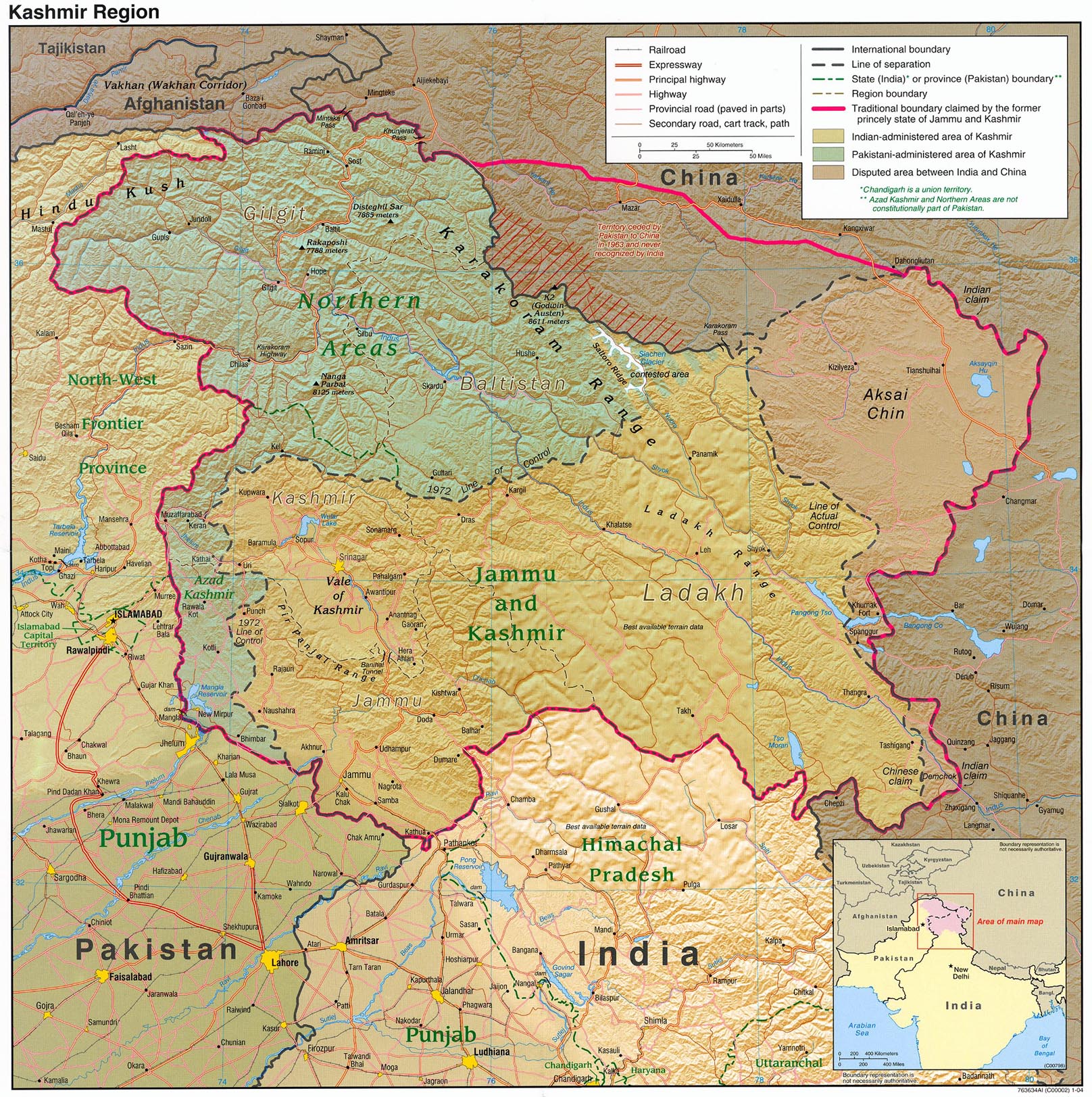
- Boundary of Indian claim : The territory India claims is legally theirs, but the claim is disputed by China and Pakistan.
- Line of Control/Line of Conflict : The de facto administrative boundary recognised by the international community. This UN ceasefire line is considered as a temporary solution to the ongoing conflict since the departure of the British Raj.
Borders of disputed regions
The depicted extent of the former territory of the British Indian Empire, succeeded by Republic of India, may not be accepted by a few countries as legal due to ongoing border disputes:
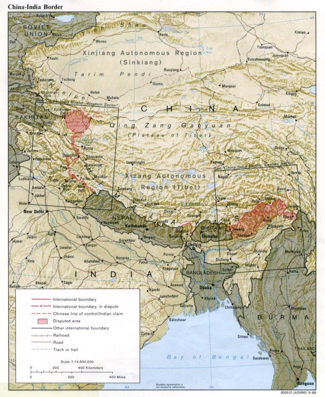
- The northern Himalayan region of the disputed territory Indian-administered Kashmir is claimed by India including Pakistan-administered Kashmir and the Chinese-occupied territory of Ladakh plateau. Since 1972, it is divided between all three countries. See also Line of Control and Line of Actual Control.
- Siachen glacier (shown in white) is an actively contested region between India and Pakistan. Since 1984, the region is under Indian control.
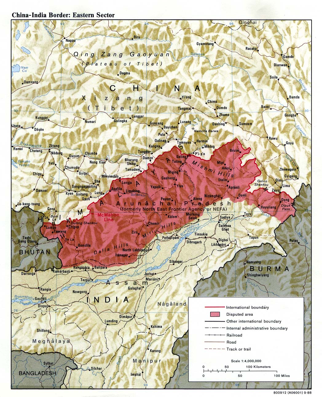
- The northeastern territory of Arunachal Pradesh is almost entirely claimed by China as part of its Tibetan territory.
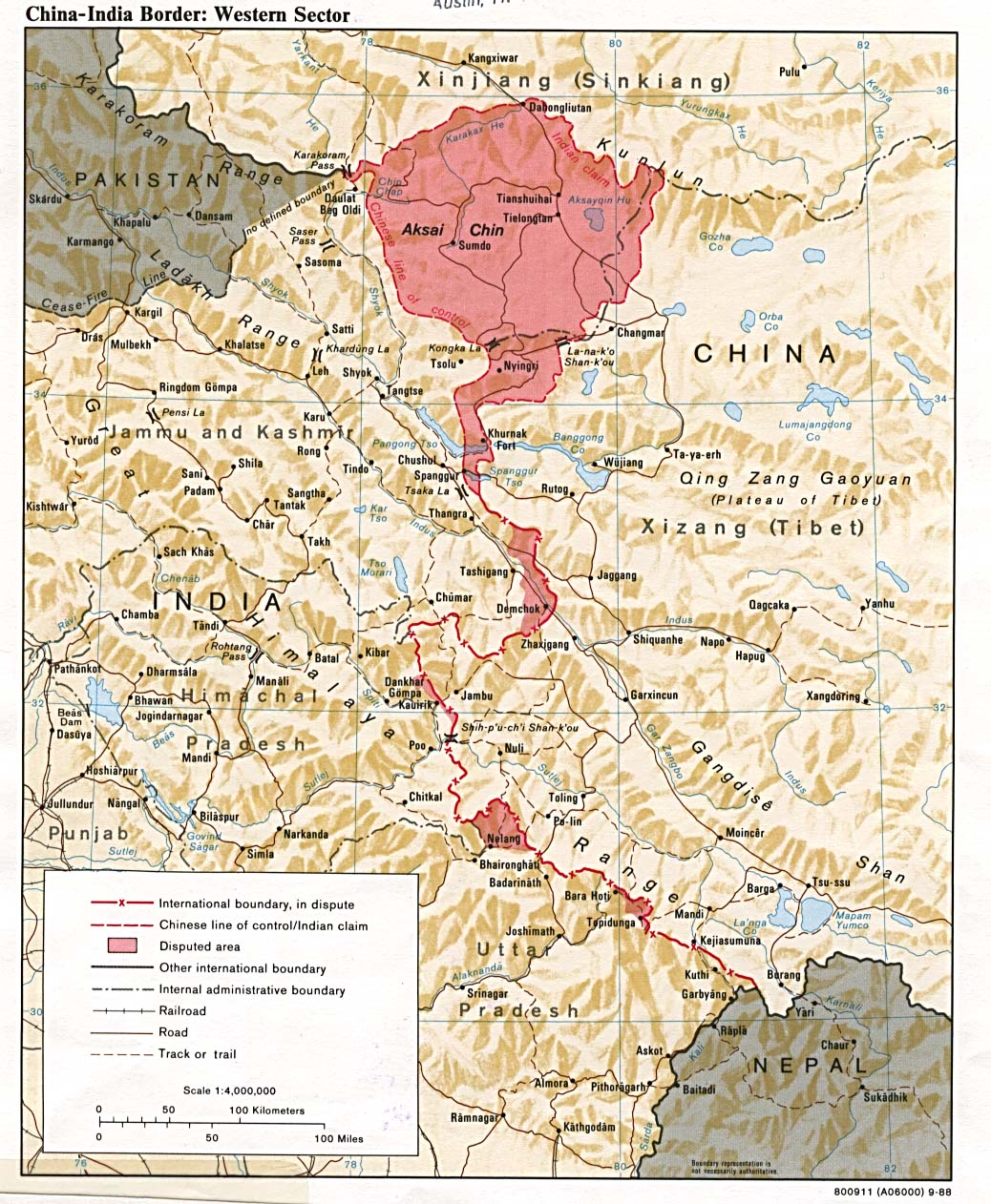
- Minor areas of eastern Kashmir's Ladakh division, Himachal Pradesh and Uttarakhand on the Chinese frontier are claimed by China. These areas are under Indian control.
- A small area of Uttarakhand adjoining the Nepal border along the Sarda river is disputed between the two countries.
For a detailed map of all disputed regions in South Asia, see Image:India disputed areas map.svg
Internal borders
The borders of the state of Meghalaya, Assam and Arunachal Pradesh are shown as interpreted from the North-Eastern Areas (Reorganisation) Act, 1971, but are yet to be verified.
Territorial waters
The limit of the territorial waters of India extends to twelve nautical miles measured from the appropriate baseline. See this for more information.
Оценка
|





|
Эта иллюстрация выбрана изображением дня для 15 августа 2011 года. У неё следующее описание: Русский: Подробная карта автодорог Индии Другие языки
Bahasa Melayu: Peta terperinci rangkaian lebuh raya di India. Deutsch: Detaillierte Karte der Fernstraßen in Indien. English: Detailed map of Indian national highways. Español: Mapa mostrando la red estatal de autopistas de la India. Français : Carte détaillée des autoroutes nationales de l'inde. Italiano: Mappa dettagliata delle autostrade nazionali indiane. Polski: Mapa autostrad w Indiach. Română: Hartă detaliată a autostrăzilor naționale indiene. Svenska: Detaljerad karta över Indiska nationallandsvägar. Русский: Подробная карта автодорог Индии 한국어: 인도 고속도로 노선 상세도. 日本語: 詳細なインドの国道路線図 中文: 印度高速公路地图 |
|
|
Это изображение было выбрано изображением дня в Бенгальской Википедии.
|
Derivative works
Производные работы от этого файла: Golden Quadrilateral.svg

История файла
Нажмите на дату/время, чтобы увидеть версию файла от того времени.
| Дата/время | Миниатюра | Размеры | Участник | Примечание | |
|---|---|---|---|---|---|
| текущий | 12:58, 2 апреля 2021 | | 1639 × 1852 (1,11 МБ) | wikimediacommons>JoKalliauer | 1) corrected font-family="'Arial-BoldItalicMT'" and similar to fonts available; 2) put switch at the beginning phab:T279133 3)removed useless clipPaths |
Использование файла
Следующая страница использует этот файл:
